Tuesday, 29 September 2026
Bleno 3D: how your drone flight becomes a 3D model for the quote
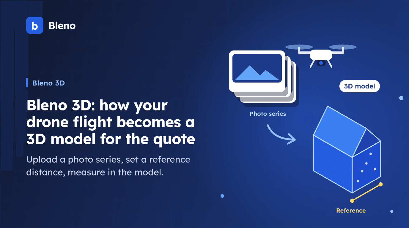
A single photo is enough for a top-down roof measurement – a method already used by businesses that have their drone with them anyway (see roof measurement with a drone). But for more than a single surface, for facades or for grounds, you need more than one photo: a model of the whole property. That is exactly what we are working on with Bleno 3D.
This article shows how the process is built and how far along we are.
From drone flight to 3D model
The process starts with a flight you make with your own drone: a grid over the roof with the camera pointing down, plus one or two circles around the building with the camera tilted for the facades. The individual photos overlap heavily – better one photo too many than a gap in the model.
You upload the photo series – usually 80 to 200 images – to the project, in the office or straight from the site in the employee app, with a progress indicator and the ability to resume after an interruption. Bleno checks the series before processing: number of photos, GPS data, camera angles. If something is missing, you get a clear note instead of waiting for a model full of holes. From the checked series, Bleno computes a textured 3D model that you can rotate, zoom and view from all sides in the browser – without any extra program.
Scale and measuring in the model
A 3D model made from photos initially has no scale. So you first set a reference distance that you measured on site – the eaves, for example. Only then can lengths, areas and heights be taken from the model into your measurements. Pitch and true area follow automatically from the model's geometry, without you entering them by hand.
What Bleno suggests depending on the trade
On this basis, Bleno 3D builds suggestions for different trades:
- Roof: Roof surfaces with size, pitch and orientation, plus edges by type – ridge, hip, valley, eaves, verge – as well as dormers, chimneys and roof windows as suggested deductions.
- Facade: Area, width and height per side of the building, with windows and doors as deductions, and derived from this a scaffolding area per side.
- Grounds: Areas that follow the terrain, for paving, lawn or beds for example, and a height profile along a line to estimate slopes and differences in level.
Important: every suggestion remains a suggestion. You check it, accept it, discard it or correct it – nothing ends up in the quote unchecked. Confirmed measurements become a normal measurement group on the quote line item, just like with digital measurement by hand, and the measurement sheet in the quote PDF shows where the figures come from.
Visible to your customer too
Once the model is ready, you can share it with your customer in the customer portal – revocable at any time. They rotate their roof on their phone or computer and see at a glance what you are writing a quote for. Internal measurements and notes stay in the office.
Coming soon
Bleno 3D is in development; some parts, such as measuring in the model, have already been built. Before we launch, we are checking the models on real roofs against measurements taken on site – only then will we state specific accuracy figures. We will announce the launch in the app under "Was ist neu" (what's new) and in the newsletter. You can already find all the details of the planned scope and the flight guide on the Bleno 3D feature page.
Until then, you can already measure individual roof and facade surfaces today with measurements from a drone photo – with no extra subscription.